Background
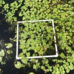
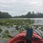
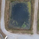
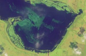
It is well accepted that timely monitoring and mapping strategies are essential for evaluating native and exotic vegetation. While many surveying techniques are well-established there are several hindrances with traditional methodologies, as assessments require a skilled workforce (species identification; boating and diving proficiency) and there is often subjectivity among surveyors which, can lower survey accuracy and efficiency. Likewise, these methods require considerable labor and time inputs, as the extent of evaluations are correlated with the precision, spatial coverage, and time-length spent evaluating each sampling location. Therefore, researchers and managers alike seek to utilize recent advances in remote sensing and photogrammetric technologies, specifically UAS (unmanned aerial systems) and aquatic drones, to minimize the expenditure associated with lakewide and localized invasive plant surveys.
Specific Research Interests
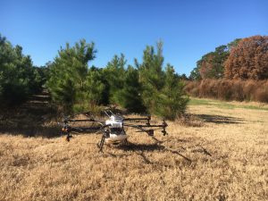
Unmanned and Autonomous Systems:
- Aerial and Ground Based Platforms
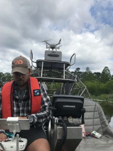
Remote Sensing:
- Low-Altitude
- Satellite
Herbicide Innovation and Technology:
- Mesocosm and Field Selection Studies
- New Chemistry and Plant Response
- Application Techniques and Strategies
Aquatic and Non-cropland Systems of Interest
Farm Ponds
Reservoirs
Riverine and Tributary
Pastureland
Forestry
Right-of-Way
Utility Works
Developed and Impervious Surfaces